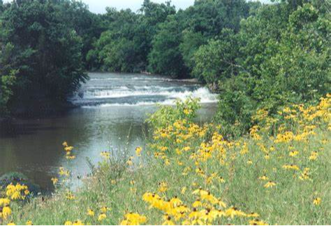
The Great Miami River, Stillwater River and Mad River, along with Twin Creek, Greenville Creek and Buck Creek, make up one of only 35 national water trail systems (designated by the U.S. Department of the Interior) and the only one in Ohio. The three rivers are state-designated water trails, too. And the Stillwater River and Greenville Creek are state-designated Scenic Rivers.
Switch to Map ViewAmenities Parking Lot Picnic Area Restrooms Recreation Trail Access Buck Creek State Park near Springfield in Clark County is one of the Ohio eBird hotspots with the highest number of bird species reported in the state! This state park is fairly compact and is entirely in Clark County. It has been well birded over the years ...
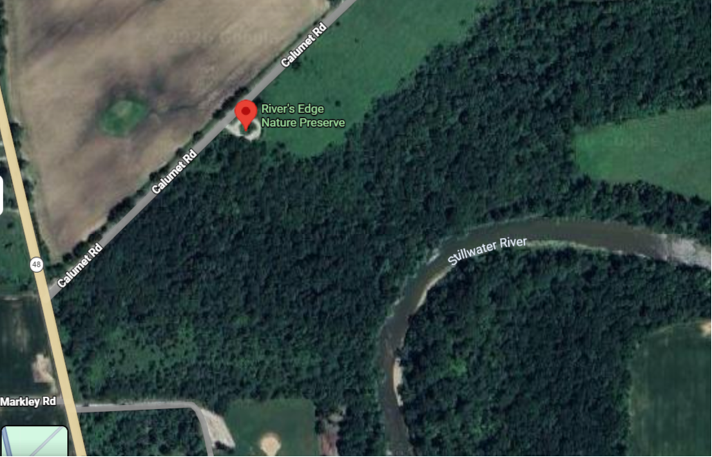
Amenities Parking Lot Picnic Area Restrooms Stillwater has 309 acres with 5.69 miles of trails that go through varying ecosystems, making it a perfect place to hike or cross-county ski. Enjoy one of the two shelters with electricity and grill for your next picnic or sit at one of the benches to bird watch.
Amenities Parking Lot Recreational trail access
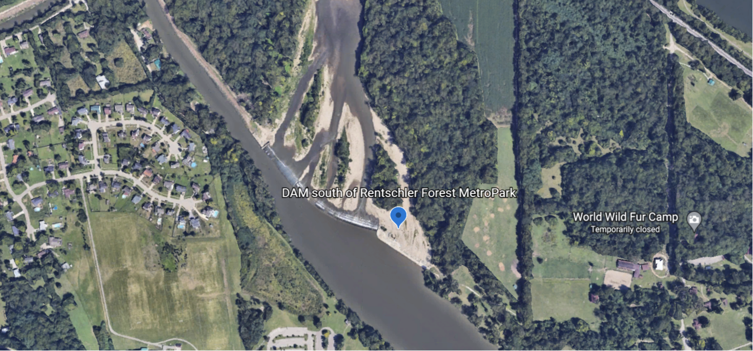
Amenities Restrooms Drinking Water Picnic Area Parking Lot Recreation Trail Access About Rentschler Forest MetroPark is located in Fairfield Township and is one of the oldest parks in the MetroParks of Butler County system. Rentschler Forest MetroPark was voted the #1 park, #1 playground and #1 walking path in Butler County b ...
Off of Dayton-Cincinnati Road Amenities Parking Lot Restrooms Drinking water Picnic Area Recreation Trail Access
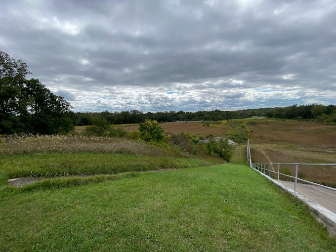
Amenities Parking Lot Recreation Trail Access
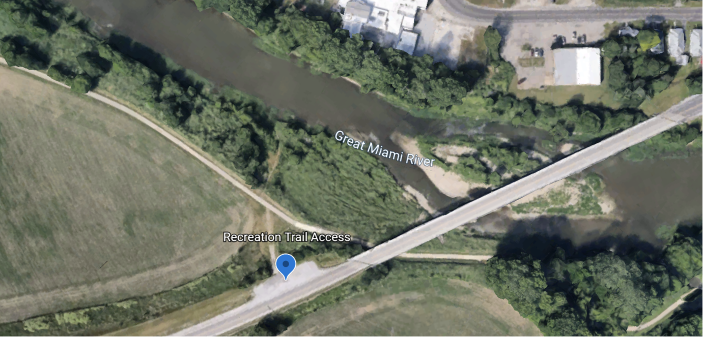
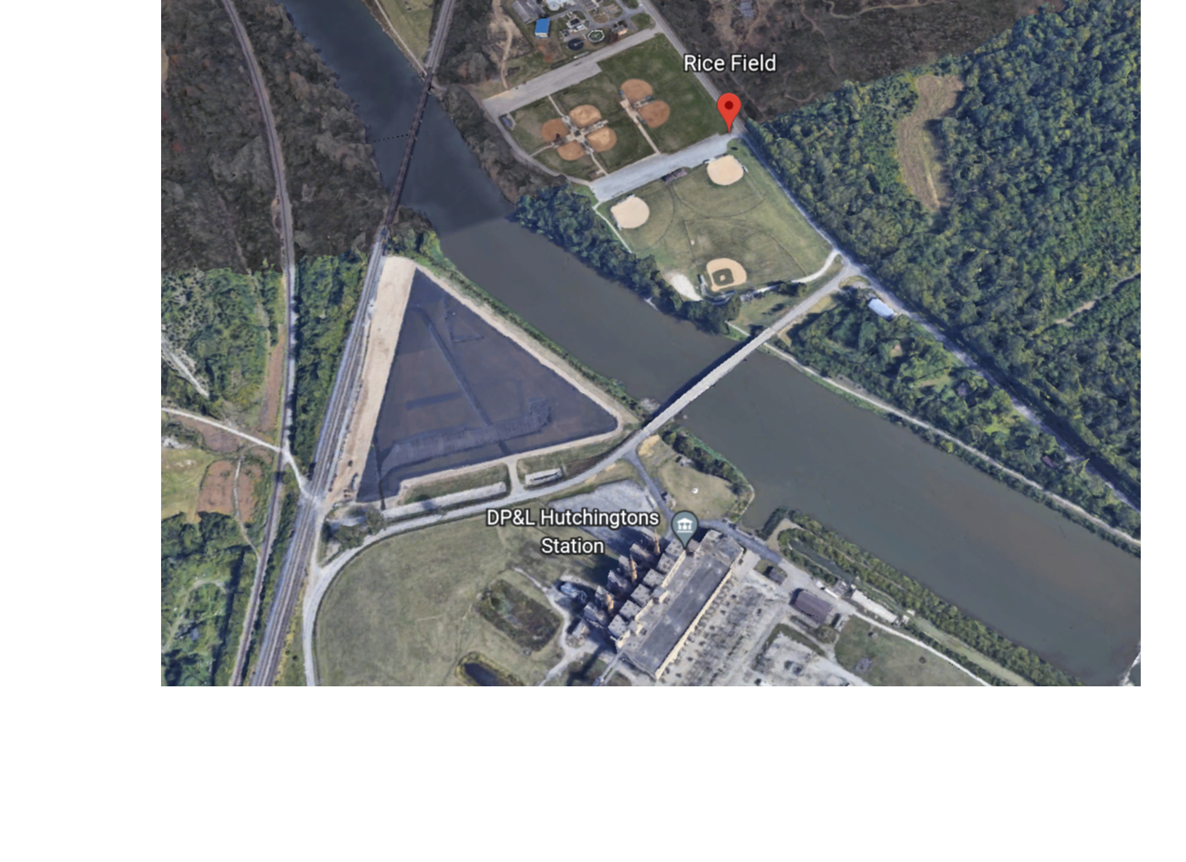
Amenities Parking Lot Recreation Trail Access About The Great Miami River Recreational Trail boasts 32 miles of bikeway through Miami County. Enjoy nature while getting active by biking, running or walking along the trail. For more information, please click on the tabs below! For information on the entire bikeway system, visit ...
Amenities Parking Lot Recreation Trail Access
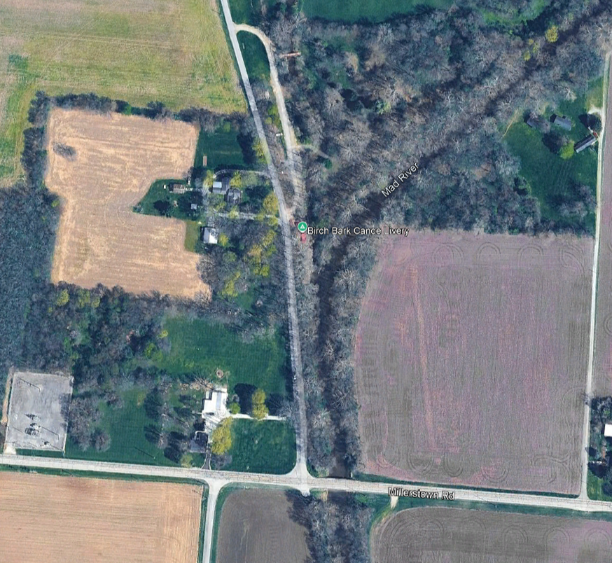
Amenities Parking Lot Boat Ramp Picnic Area Camping Restrooms Canoe Rental About Canoe through the unspoiled, cool and clear waters of the Mad River in Champaign County. The Mad River is an excellent river for you to discover the great outdoors by canoe. The river in this section, for the most part, is just 2-3 feet deep, w ...
Fishing Access Trail, Brukner Nature Center No listed amenities
Amenities Parking Lot Recreation Trail Access
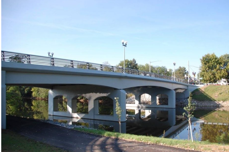
Amenities Roadside Parking Drinking Water Restrooms Picnic Area Boat Ramp Whitewater feature Recreation Trail Access River Front Park About Amid the beautifully landscaped gardens, flowering pots, hanging baskets and reflecting pools, this lively park on the banks of the Great Miami River offers a place for those who live, ...